
TYSONS CORNER, VA, July 17, 2019 — Maxar Technologies (NYSE: MAXR) and Esri have entered into an agreement for the former to continue to supply satellite imagery mosaics for Esri’s ArcGIS Living Atlas of the World geographic information database under a three-year contract extension, ExecutiveBiz reported July 9.
Maxar said July 8Â it will provide two types of satellite data: Vivid imagery mosaics, which portray large areas in the local, regional and global level;Â and Metro imagery mosaics, which cover urban areas in the city, state and country level.
According to the terms of the new contract, Esri will receive an updated version of Vivid and up to 1K Metro mosaics.
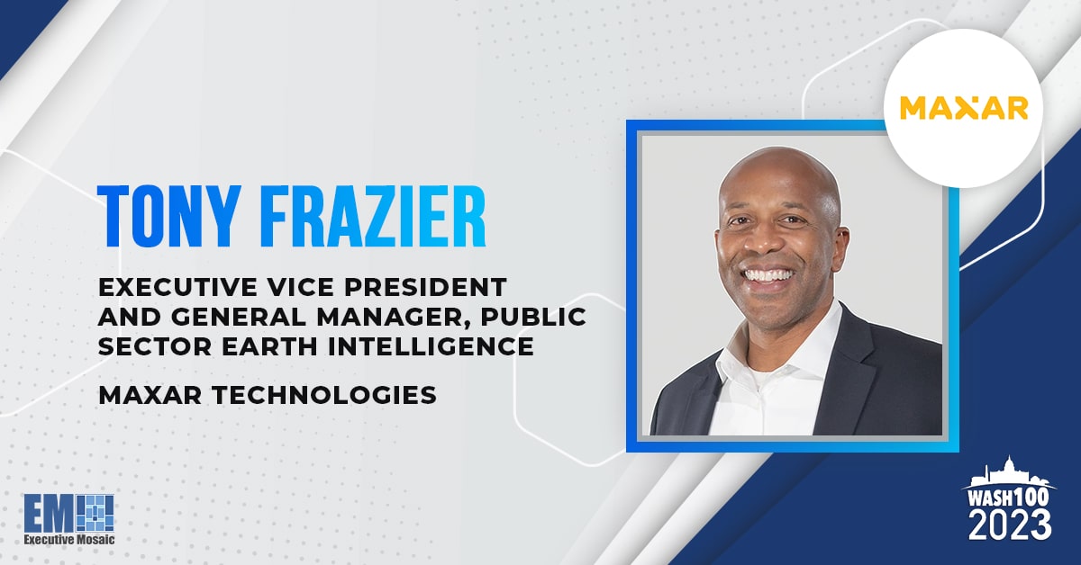
“This latest contract demonstrates both companies’ enduring commitment to innovation for Esri end users and the global GIS community,” said Tony Frazier, executive vice president of global field operations at Maxar and 2019 Wash100 winner.
About Executive Mosaic: Founded in 2002, Executive Mosaic is a leadership organization and media company. It provides its members an opportunity to learn from peer business executives and government thought leaders while providing an interactive forum to develop key business and partnering relationships. Executive Mosaic offers highly coveted executive events, breaking business news on the Government Contracting industry, and delivers robust and reliable content through seven influential websites and four consequential E-newswires. Executive Mosaic is headquartered in Tysons Corner, VA. www.executivemosaic.com


